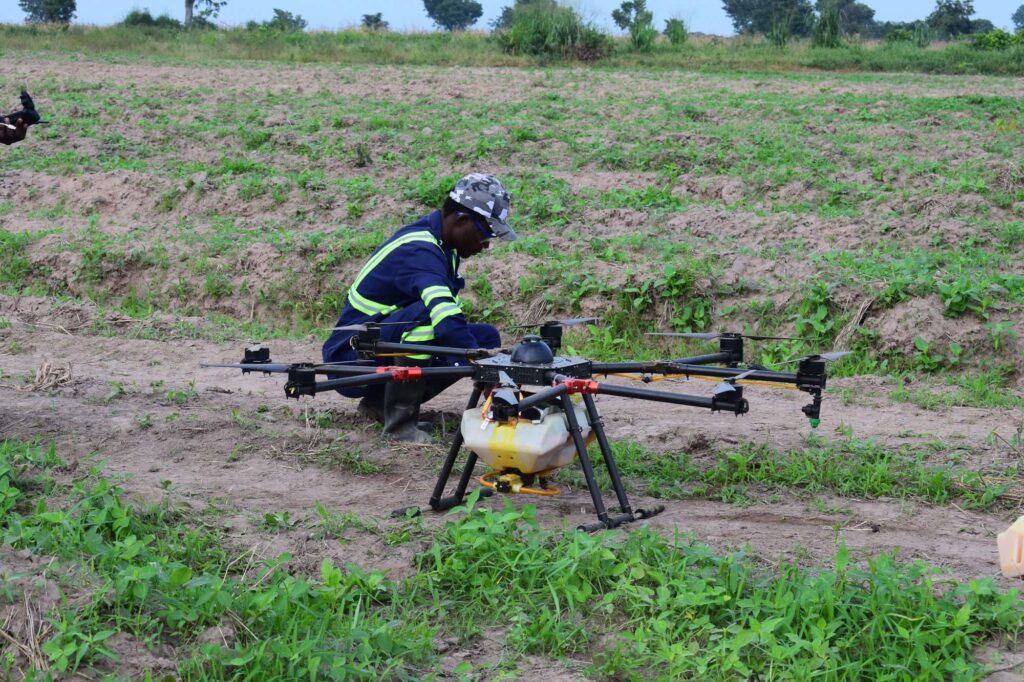
Aerial Mapping
Our aerial mapping service uses drones to capture
high-resolution images of your farm and farm
property to create detailed maps and 3D models
which can be viewed at a glance.
Our aerial mapping services are quick, easy, and
affordable
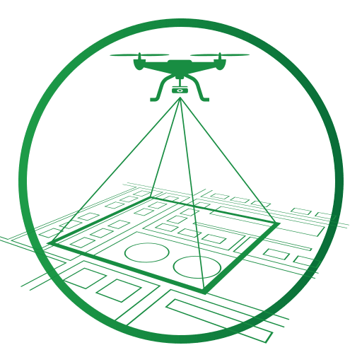
Boundary / Cadastral Mapping
Before you invest in farming, it is important to conduct a proper land search before encountering litigation. Our team is equipped to help you obtain the necessary title deed to secure your farmland investment.
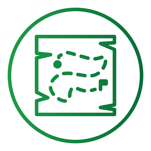
Vegetational Analysis
Monitor your crops in real-time with our satellite tech. Get: Accurate weather data. Plan ahead, avoid surprises. Plant & soil health insights. Spot problems before they grow. Easy farm data access. No matter where you are. Stop crop threats early. Optimize irrigation. Boost yields. Maximize profits.